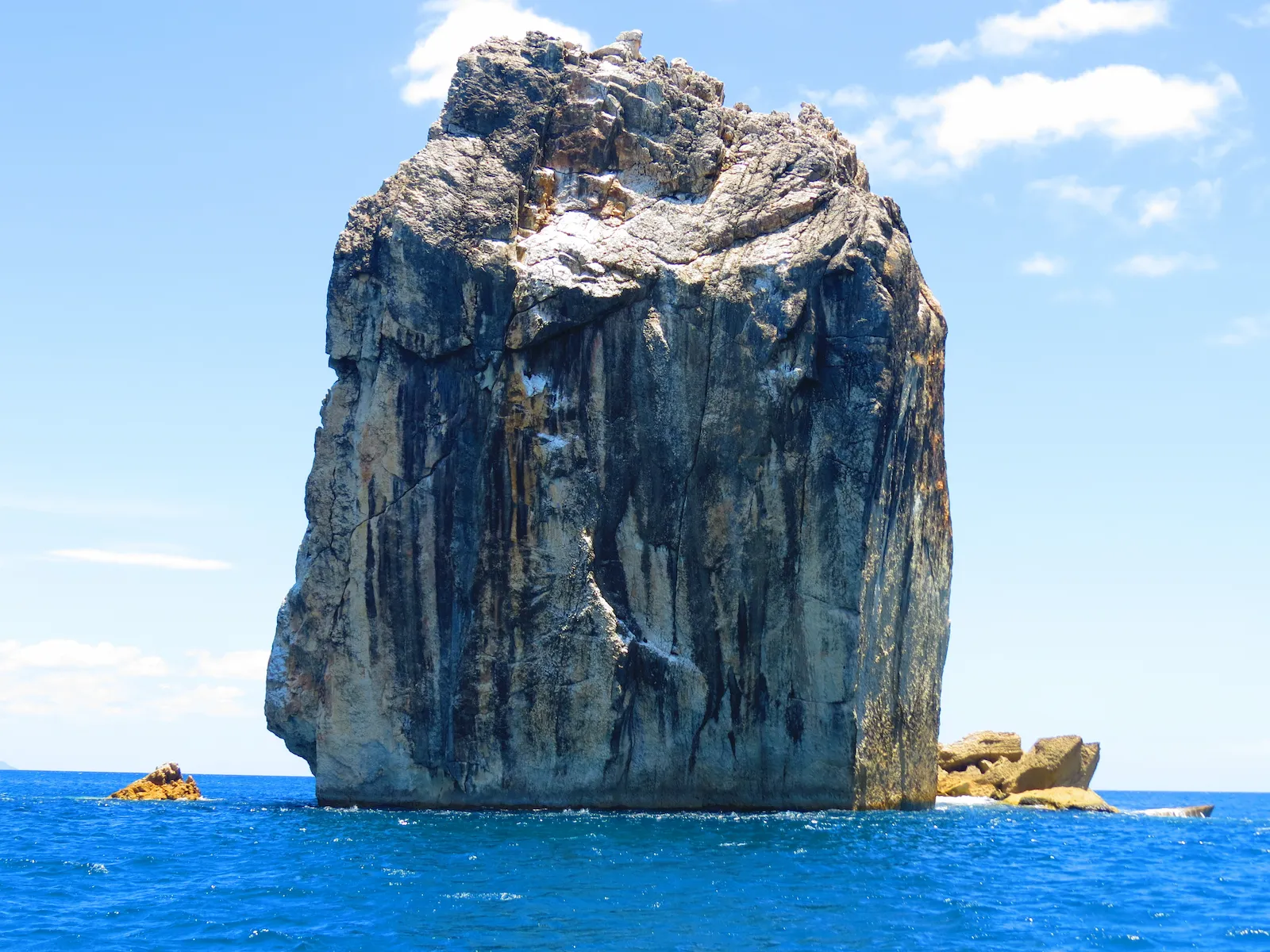
Updated July 2026
Tourism, social media and online maps can popularize names that differ from Costa Rica’s official cartography. Discover why correct place names matter.
- Costa Rica’s official maps may use different place names
- Tourism names can differ from traditional geographic names
- Tolinga is commonly promoted as Isla Tortuga
- Bat Islands refers to the Murciélago archipelago
- Official names help preserve Costa Rica’s geographic heritage
Recommended For Your Trip
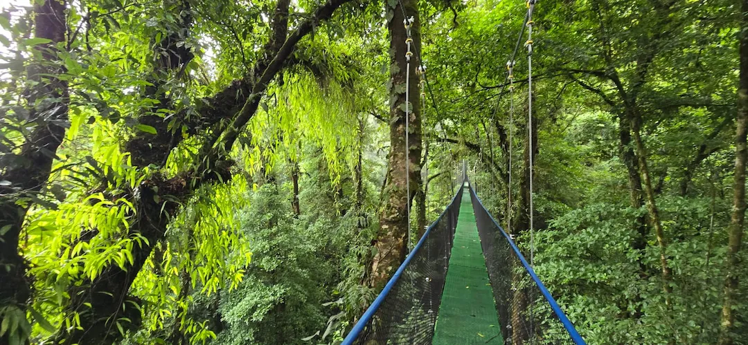
Hanging Bridges & Sloths Experience
Private hanging bridges and sloth encounter, 3 suspension bridges through tropical forest, Llanos de Cortez Waterfall and an intimate sloth experience that inspires wonder in every age. Lunch included.
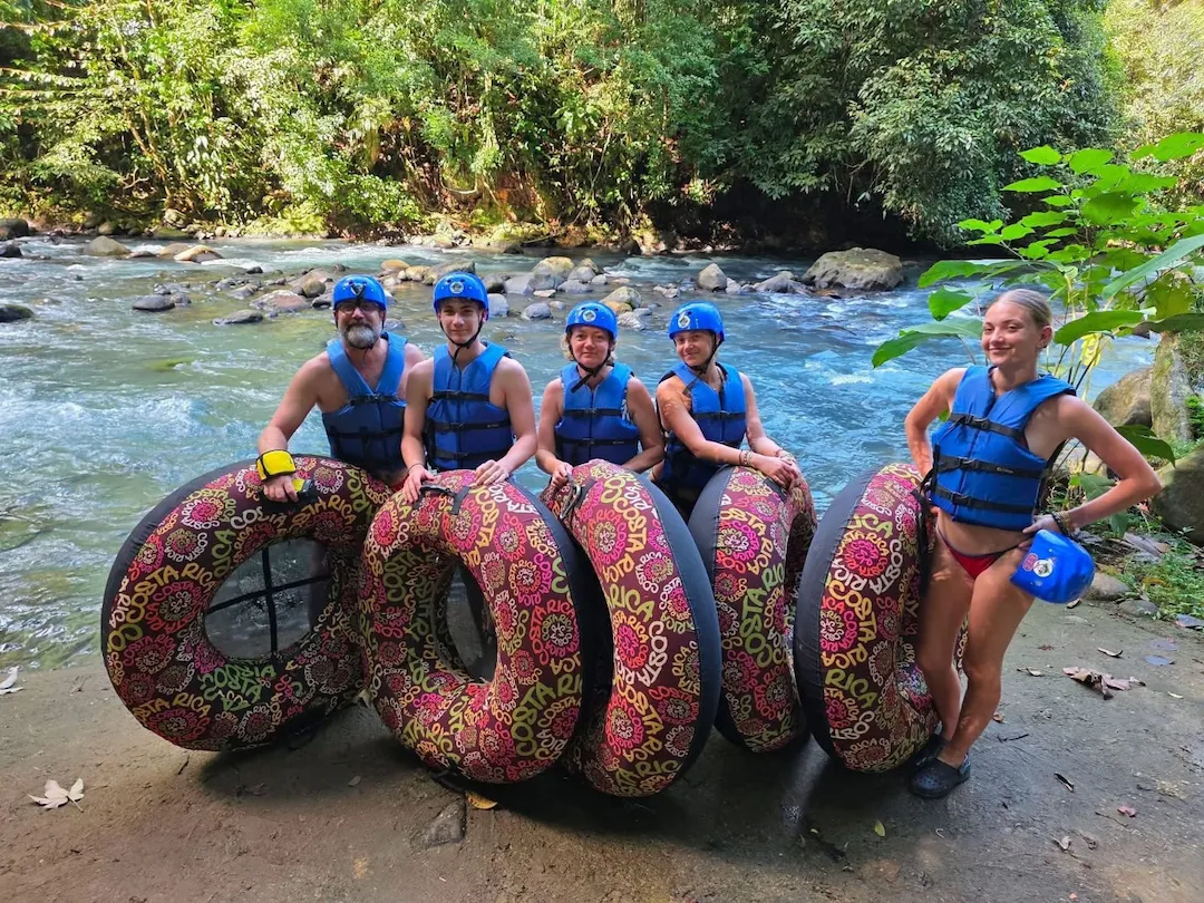
Tubing at Río Celeste — Blue River Tubing
Private tubing experience on Río Celeste, float through the striking aquamarine blue river in lush rainforest, navigating small rapids with birds, monkeys and rich biodiversity. Minimum age 4. Lunch included.
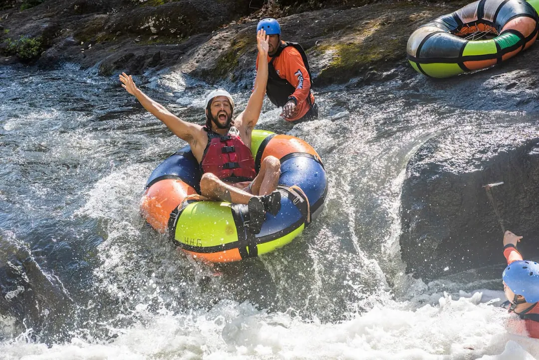
Hacienda Guachipelín Extreme
Private full-day extreme adventure at Hacienda Guachipelín, zipline, rappel, rock climbing, river tubing and hot springs in Guanacaste. Certified bilingual guide. Book with Wild Papagayo.
Why Costa Rica’s Geographic Names Matter
Costa Rica is known for volcanoes, beaches, islands, rivers, rainforests and an extraordinary variety of natural landscapes. Many of these places are promoted internationally through travel websites, social media, navigation applications and tour advertisements.
However, the name travelers see online is not always the same name used in Costa Rica’s official cartography. Some destinations are marketed under an easier nickname, an English translation, a shortened version or a name created through local and tourism use.
This does not necessarily mean that travelers or tourism businesses are intentionally sharing false information. Place names naturally evolve, and a popular name may become so widely recognized that it feels official. The problem begins when the popular name completely replaces the historical or cartographic name without explanation.
Geographic names are part of Costa Rica’s cultural heritage. They can preserve indigenous words, historical events, local traditions, references to plants and animals, or descriptions of the landscape itself.
Who Protects Costa Rica’s Official Place Names?
Costa Rica created the National Nomenclature Commission through Law No. 3535 of August 3, 1965. One of its responsibilities is to help preserve the traditional and native names of Costa Rican geography.
The National Geographic Institute is the country’s official cartographic authority. Its geographic information standards distinguish between an official or generally accepted name and a nonofficial name used without formal authorization from the State.
This distinction is important for maps, public signs, tourism information, emergency response, research and historical preservation. When everyone uses completely different names for the same location, confusion becomes more likely.
When a boat captain, local guide and online map use different names, save the location coordinates and ask for the official or traditional Spanish name. This prevents confusion without dismissing the name used by local residents.
Popular Names and Official Cartography Are Not Always the Same
A tourism name can still be useful. Travelers often need a familiar term to find an excursion, communicate with a driver or search for a destination online. The goal is not to remove every popular name, but to explain how it relates to the official geography.
Isla Tortuga, Tolinga and the Islas Tortugas
One of the clearest examples is the destination commonly marketed as Isla Tortuga. Most visitors use this name when searching for boat tours in the Gulf of Nicoya.
Official geographic records identify Tolinga as part of the Islas Tortugas group and also list Alcatraz as another island within that group. This means that the tourism expression Isla Tortuga does not tell the complete geographic story.
A responsible travel article can still use Isla Tortuga because travelers recognize it, but it should also explain that the main island is Tolinga and that the area includes additional islands and islets.
Bat Islands and the Murciélago Archipelago
International travelers commonly search for Bat Islands, especially when researching diving and marine experiences in northern Guanacaste.
Official conservation sources use Spanish forms such as Archipiélago Islas Murciélago and Archipiélago de las Islas Murciélago. The protected archipelago is associated with the Santa Elena Peninsula and forms part of the marine sector of the Guanacaste Conservation Area.
The English name Bat Islands is useful for tourism and international communication, but including the Spanish geographic name helps visitors understand the destination’s local identity.
The Name May Not Be the Only Error
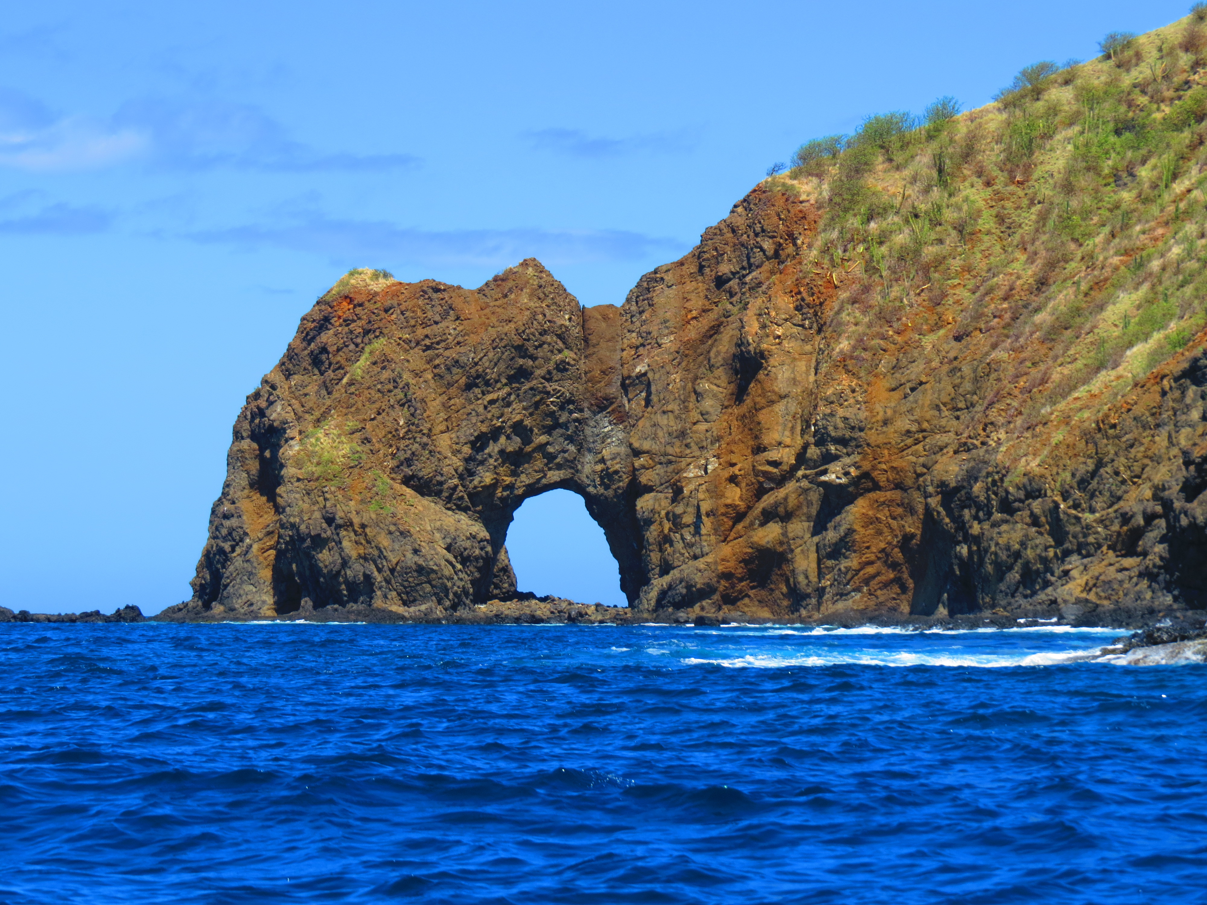
Sometimes the confusion is not only about the name. A feature described online as an island may officially be classified as an islet, rock, point, bay or coastal formation.
These words describe different geographic features. An island is land surrounded by water, while a point is connected to the mainland. An islet is generally smaller than an island, and a rock may not support the same vegetation or terrain.
From a tourism perspective, the difference may appear minor. From a cartographic, environmental and cultural perspective, it matters. Correct classification helps people understand the real landscape and reduces the spread of inaccurate information.
How Online Maps Can Spread Alternative Names
Collaborative maps and social platforms are extremely useful for travelers, but their place labels may be submitted by businesses or individual users. A scenic viewpoint, rock formation or swimming area can receive an informal name that quickly becomes popular.
Once travel blogs, photographs and tour companies repeat that name, search engines may begin presenting it as the main identification for the location. Visitors then repeat it in reviews and social posts, creating a cycle in which the unofficial name becomes more visible than the cartographic one.
This is why the first search result should not always be treated as the final authority on Costa Rican geography.
How Travelers Can Verify a Place Name
Begin by comparing several sources. Look at information from the National Geographic Institute, the National Territorial Information System, national parks, conservation areas, municipalities and other Costa Rican government institutions.
When the sources use different versions, do not immediately assume that one is wrong. The difference may reflect a tourism name, local name, historic name, official name or a label used at a different map scale.
A helpful way to write the destination is to include both forms. For example, an article can introduce a place as Tolinga, commonly promoted as Isla Tortuga, or the Murciélago Archipelago, internationally known as the Bat Islands.
Traveling With Greater Respect for Costa Rica
Learning the correct name of a destination is more than a geography lesson. It is a way to recognize Costa Rica’s history, culture and local knowledge.
Travelers do not need to memorize every official island, rock or coastal point. What matters is remaining curious and understanding that the label shown on a tourism advertisement may represent only one version of the place’s identity.
Travel writers and tour companies also have an important role. By checking official sources and explaining alternative names, they can create content that is both useful for international visitors and respectful of Costa Rica’s geographic heritage.
The next time two maps use different names, treat the difference as an invitation to learn more. Behind every name there may be a story about local communities, wildlife, navigation, history or the physical landscape itself.
Frequently Asked Questions
Are popular tourism names always incorrect?
No. A popular name may be useful, historically established or widely recognized by local residents. It simply may not match the name recorded in official cartography.
Is Isla Tortuga the official name of the island?
Isla Tortuga is the name most travelers and tour companies use. Official geographic records identify Tolinga within the Islas Tortugas group and also list Alcatraz as part of that island group.
Are the Bat Islands a real destination?
Yes. Bat Islands is the English tourism name for the protected Murciélago archipelago in northern Guanacaste. The issue is not whether the destination exists, but how its Spanish geographic name is written and understood.
Why do Google Maps and official maps sometimes disagree?
Collaborative platforms may include names submitted by users or businesses, while official maps follow national cartographic standards and institutional records.
Can a place have more than one valid name?
Yes. A location may have an official name, traditional name, local nickname, historical name and translated tourism name. Good travel information explains the relationship between them.
Why does the geographic classification matter?
Calling a point an island or a rock an islet changes how people understand the landscape. Accurate classifications also support mapping, navigation, conservation and emergency planning.
Where can travelers verify Costa Rican place names?
Travelers can consult the National Geographic Institute, the National Territorial Information System, official conservation-area websites and government maps.
Should tourism companies stop using familiar names?
Not necessarily. Familiar names help travelers find destinations. The most responsible approach is to mention the recognized tourism name together with the official or traditional name.
Keep Reading


We respond on WhatsApp in under 2 hours.
Private tours, airport transfers, expert guides — all in one message.
No WhatsApp? Email us at info@wildpapagayo.com