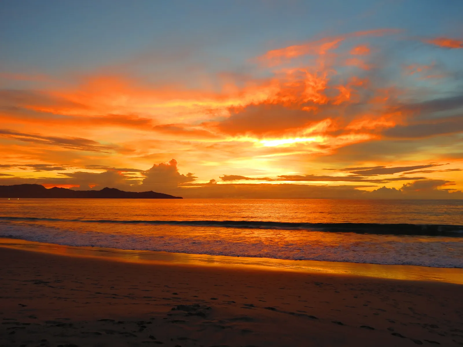
Updated July 2026
Costa Rica has hundreds of named beaches across the Pacific and Caribbean. Discover why counting them is complicated and what official maps reveal.
- Costa Rica has hundreds of named beaches
- Most officially mapped beaches are on the Pacific coast
- Guanacaste includes bays, islands and remote protected shores
- Popular tourism names may differ from official map names
- Not every mapped beach has easy public access
Recommended For Your Trip

Sloth Adventure Tour Costa Rica
Private sloth wildlife encounter in the Costa Rica rainforest. Full-day private tour with certified bilingual guide. Book via WhatsApp with Wild Papagayo.
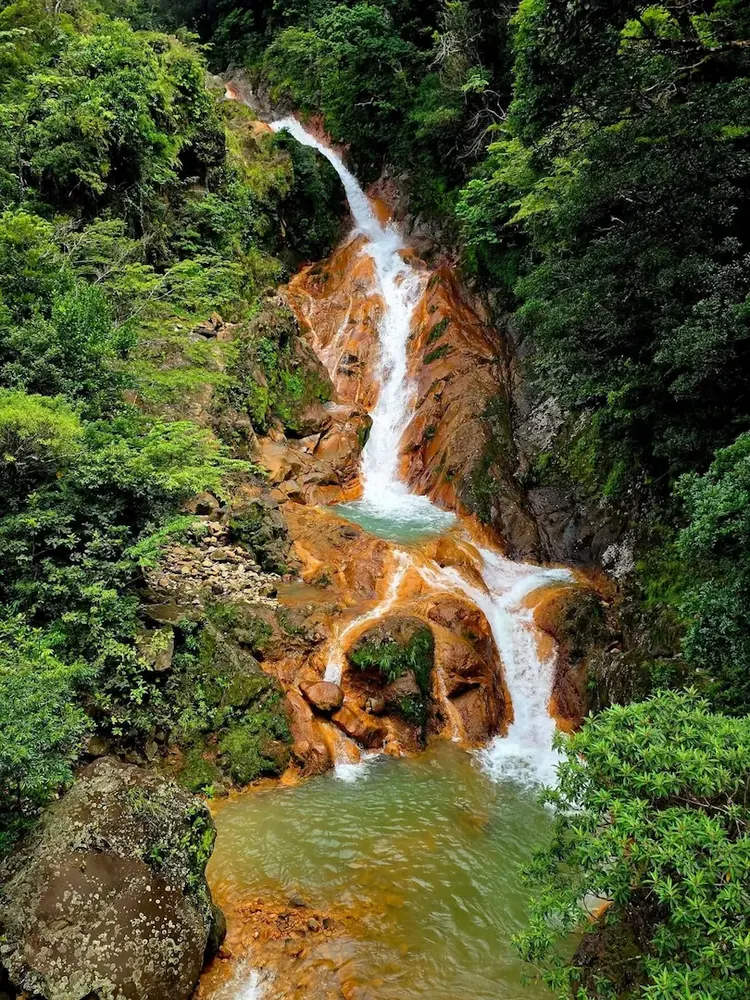
Costa Rica Highlights Tour — Sloths, Waterfall, Coffee, Hot Springs & Hanging Bridges
The ultimate one-day Costa Rica experience, sloth observation, waterfall, hands-on coffee and cacao workshop, natural mineral hot springs and two hanging bridges. Everything that makes Costa Rica extraordinary, in one private day.

Congo Trail Half-Day Adventure
Six zip lines, hanging bridges, 45 minutes on ATV and horseback riding through Guanacaste dry forest. Half-day private adventure at Congo Trail with certified bilingual guide.
How Many Beaches Does Costa Rica Have?
Costa Rica has hundreds of beaches distributed along the Pacific Ocean, the Caribbean Sea, bays, gulfs, islands, estuaries, wetlands and protected coastal areas.
However, answering exactly how many beaches the country has is more complicated than adding the names found on a tourism website or navigation application.
Official cartography may recognize a beach under a different name from the one used by local residents, hotels or tour companies. Some smaller coastal sections may not have an individually registered name, while others may have received a popular name after the original map was produced.
For this reason, a list based on official maps should be understood as a geographic inventory rather than a final count of every place people currently call a beach.
A Country Between Two Coasts
Costa Rica has coastlines on both the Pacific Ocean and the Caribbean Sea. Although the country is relatively small, its coastal geography is remarkably diverse.
Travelers can encounter wide open-ocean beaches, protected bays, volcanic shorelines, coral-influenced Caribbean beaches, mangrove channels, island beaches and long stretches of sand beside wetlands and river mouths.
This diversity means that two Costa Rican beaches located only a few hours apart can have completely different landscapes, wave conditions, ecosystems and travel experiences.
Before driving to a remote beach, ask a local guide about road access, tides and public entry. A map pin may show the location accurately without showing a locked gate, river crossing or seasonal road condition.
Why Are More Named Beaches Found on the Pacific Coast?
Most of the named beaches included in traditional Costa Rican cartography are located along the Pacific coast. This side of the country has a highly irregular shoreline with peninsulas, gulfs, bays, islands and many smaller coastal sections.
The Pacific inventory includes beaches around Bahía de Salinas, the Gulf of Santa Elena, the Gulf of Papagayo, the Nicoya Peninsula, the Gulf of Nicoya, the Central Pacific, the Osa Peninsula and Golfo Dulce.
By comparison, parts of the Caribbean coastline consist of longer continuous stretches of beach. Some coastal sections have historically been identified using nearby rivers, towns or geographic reference points instead of separate beach names.
Guanacaste Has More Than Famous Resort Beaches
International visitors often recognize names such as Playas del Coco, Playa Hermosa, Playa Panamá, Tamarindo, Conchal and Sámara. These are only a small part of Guanacaste’s coastal geography.
Northern Guanacaste includes remote beaches around Bahía de Salinas, the Santa Elena Peninsula and Santa Rosa National Park. The Gulf of Papagayo and Bahía Culebra contain additional beaches hidden between headlands, protected bays and undeveloped coastal areas.
Some can be reached by paved road, while others may require a four-wheel-drive vehicle, boat transportation, a national park entrance or permission to cross private property. A beach appearing on a map does not automatically mean it has easy or public road access.
Beaches Around the Gulf of Papagayo
The wider Papagayo region includes recognized beaches such as Playa Cabuyal, Playa Iguanita, Playa Panamá, Playa Hermosa, Playas del Coco and Playa Ocotal.
There are also smaller beaches and coves whose names are less familiar to international travelers. These places demonstrate why Papagayo should not be viewed as a single beach, but as a coastal region formed by bays, peninsulas and many individual shorelines.
Tourism Names and Official Names May Differ
A beach can have an official cartographic name and still be better known under a tourism or commercial name. The familiar name may come from a nearby hotel, community, marina, property or local tradition.
This does not always make the popular name wrong. It simply means that travelers may encounter different names for the same coastal area when comparing road signs, online maps, local directions and official cartography.
A responsible travel guide should mention both versions when the difference could cause confusion. This helps visitors find the destination while also preserving its geographic and cultural identity.
Many Beaches Are Inside Protected Areas
Some of Costa Rica’s most important beaches lie within national parks, wildlife refuges, wetlands and biological reserves.
Examples include beaches associated with Santa Rosa National Park, Marino Las Baulas National Park, Ostional Wildlife Refuge, Manuel Antonio National Park, Marino Ballena National Park, Corcovado National Park, Tortuguero National Park and Cahuita National Park.
These beaches are not protected only for their scenery. They may support sea turtle nesting, coastal forests, coral ecosystems, mangroves, marine wildlife and important bird habitats.
Access rules can include entrance fees, operating hours, seasonal restrictions and limits on food, pets, vehicles or nighttime visitation. Travelers should check current rules before visiting.
What About Hidden and Remote Beaches?
A beach appearing in official cartography may not have tourism services, lifeguards, restrooms, restaurants or reliable phone coverage.
Remote locations can involve river crossings, rough roads, long walks, changing tides or limited access through protected and privately managed land. Some are better explored with a local guide or licensed boat operator.
Travelers should never assume that a beach is safe for swimming simply because it looks calm. Waves, currents, submerged rocks and rapidly changing tides can affect even beautiful and apparently protected shores.
Costa Rica’s Coast Is More Than a Beach Checklist
Costa Rica’s coastline cannot be understood only through its most famous tourism destinations. It includes hundreds of named and unnamed shores connected to islands, wetlands, forests, protected bays and remote national parks.
The official name of a beach is part of the country’s geographic heritage, but local and tourism names also help tell the story of how coastal communities and travel destinations have developed.
For visitors, the most useful approach is not trying to visit as many beaches as possible. Choose a region, learn about its geography and spend enough time to understand how each beach differs in access, wildlife, waves and atmosphere.
In Guanacaste alone, travelers can move from developed beach towns to quiet bays and remote protected shores. That variety is one of the reasons Costa Rica’s coast remains so rewarding to explore.
Frequently Asked Questions
How many official beaches are there in Costa Rica?
There is no simple permanent number. Cartographic inventories contain hundreds of named coastal areas, but the total can vary according to map scale, classification, updated names and whether long coastal sections are counted as one beach or several.
Does Costa Rica have more Pacific or Caribbean beaches?
Traditional geographic inventories include substantially more individually named beaches on the Pacific side, partly because its coastline contains more bays, gulfs, peninsulas and islands.
Are all beaches in Costa Rica public?
Costa Rica’s maritime zone generally protects public use of the shoreline, but reaching a beach can still be complicated when there is no public road, when access crosses private land or when the beach lies inside a protected area.
Why does a beach have different names on different maps?
A place may have an official cartographic name, a traditional local name and a commercial tourism name. Online mapping platforms may also include names contributed by users or businesses.
Which Guanacaste beaches are easiest for first-time visitors?
Playas del Coco, Playa Hermosa, Playa Panamá, Playa Ocotal, Playa Conchal, Tamarindo and Sámara are among the more accessible options with nearby services and established tourism infrastructure.
Are remote beaches safe for swimming?
Not automatically. Remote beaches may have strong currents, waves, rocks or no lifeguards. Ask locally about conditions and remain out of the water when you are uncertain.
Can travelers visit beaches inside national parks?
Many can be visited during established park hours, but regulations vary. Some locations require advance reservations, entrance fees or authorized transportation.
Where can travelers verify official beach names?
Official geographic information can be checked through Costa Rica’s National Geographic Institute, the National Territorial Information System and the websites of national parks and conservation areas.
Keep Reading


We respond on WhatsApp in under 2 hours.
Private tours, airport transfers, expert guides — all in one message.
No WhatsApp? Email us at info@wildpapagayo.com